
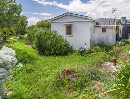


3 Ripa Street, Tangimoana, Manawatu
3 Ripa Street, Tangimoana, Manawatu
1 Beds
1 Baths
38m² Floor area
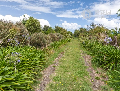
1548m² Land area
Council Data
View typeNo appreciable view
ContourLevel
Land area1548m²
Floor area38m²
Decade of construction1940
TitleWN595/90
Type of titleFreehold
Legal descriptionSEC 75 TOWN OF TANGIMOANA
CouncilManawatu
Estate descriptionFSIM,1/1,SECTION 75 TOWN OF TANGIMOANA,1548m2
ConstructionExternal Walls: Fibrous Cement
Roof: Iron
Roof: Iron
ConditionExternal Walls: Average
Roof: Average
Roof: Average
Similar Properties
School zones
History
Login to view historical transaction records
For developers
Unitary plan:-
Land area:1548m²
Title:Freehold