


5 Mowhanau Drive, Kai Iwi, Wanganui
5 Mowhanau Drive, Kai Iwi, Wanganui
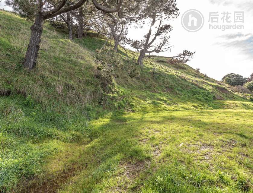
3414m² Land area
Council Data
View typeNo appreciable view
ContourLevel
Land area3414m²
TitleWN15C/455
Type of titleFreehold
Legal descriptionLOT 2 DP 44231
CouncilWhanganui
Estate descriptionFSIM,1/1,LOT 2 DEPOSITED PLAN 44231,3414m2
ConstructionExternal Walls: Unknown
Roof: Unknown
Roof: Unknown
ConditionExternal Walls: Unknown
Roof: Unknown
Roof: Unknown
Similar Properties
School zones
History
Login to view historical transaction records
For developers
Unitary plan:-
Land area:3414m²
Title:Freehold